Lozells and East Handsworth
Part of the Perry Barr district
Lozells & East Handsworth ward is located approximately two kilometres to the north of Birmingham City Centre.
It is one of four wards, which make up the Perry Barr Parliamentary Constituency.
Explore Lozells and East Handsworth
Show All
Sounds
Blog posts
Videos
Photos
Project news
for-wards pilot
Composition



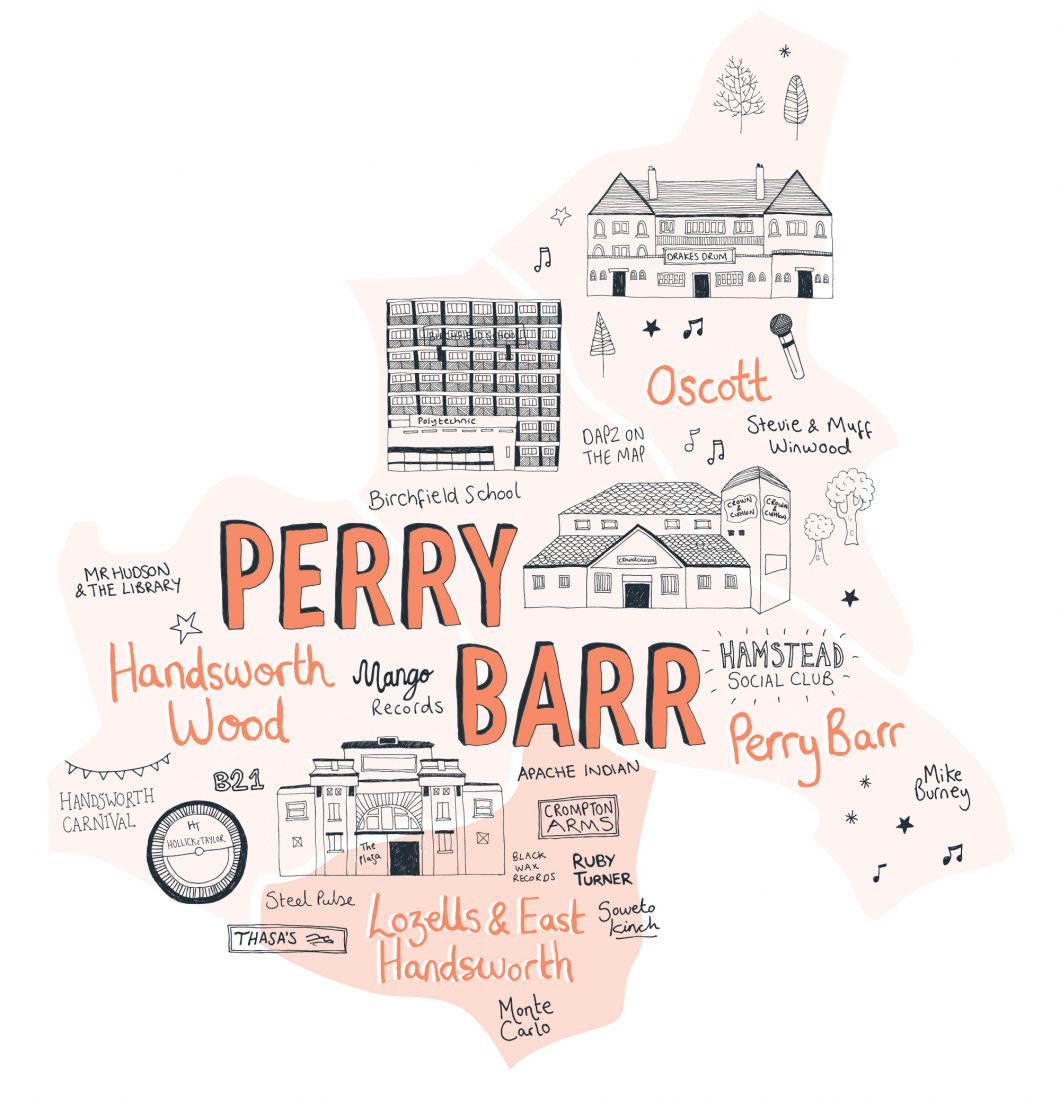
To the north, Handsworth ward is enclosed by the Birmingham to Walsall railway line. The outer ring road Wellington Road into Church Lane, down into Hinstock Road, then along Philip Victor Road and Antrobus Road. To the east the ward boundary follows Birchfield Road between the Perry Barr island and Johnstone Street. Rookery Road onto Soho Road, then into Soho Hill forms the western ward boundary. Nursery Road into Gerrard Street forms the main southern border.

